Babylon Arch
Heart of the Zion Corridor
In the heart of the corridor leading to Zion National Park is a treasure trove of sculpted red rock formations nestled against the Virgin River. The area in mention is part of the 45,000-acre Red Cliffs National Conservation Area that covers a large swath of ground from the town of the residential neighborhoods of Kayenta near Snow Canyon State Park to Hurricane Valley east of Quail Creek State Park. The Hurricane Valley spur of the conservation area is surrounded by the communities of Hurricane, La Verkin, Toquerville and Leeds and is home to the endangered Mojave Desert Tortoise. This is where the Great Basin, Mojave Desert, and Colorado Plateau overlap.
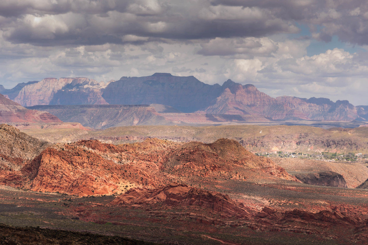
Hiking Trails
There are 130 miles of non-motorized trails within Red Cliffs that wind through rocks, washes, canyons and sandy escarpments. Needless to say, this is a great place to hike and explore. One of the most popular trails in this section of Red Cliffs is the Babylon Arch trail.
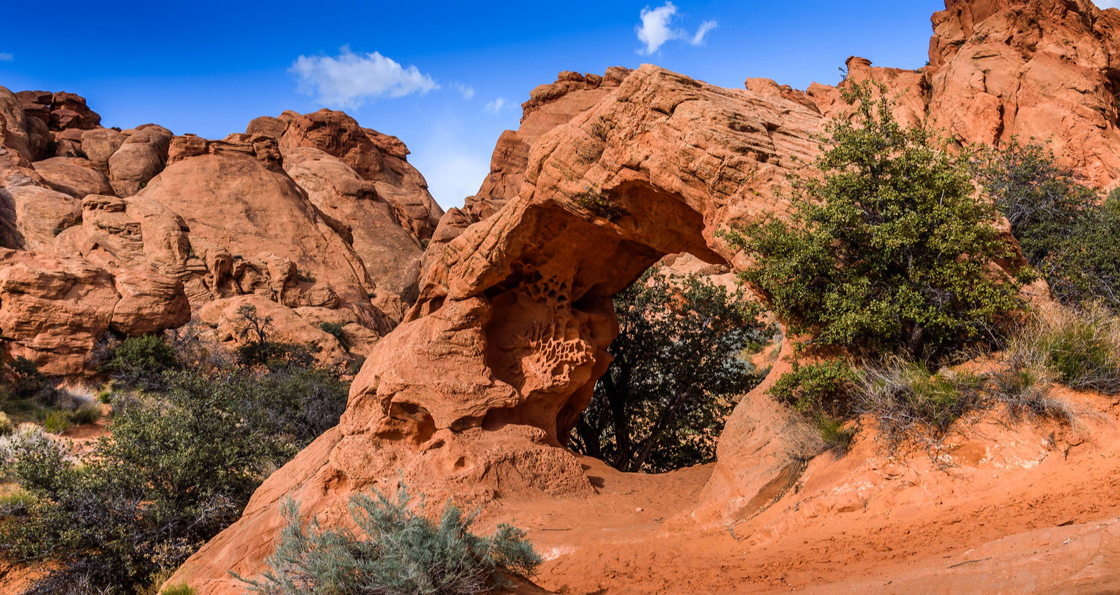
This 2.6 miles out and back trail is located between Hurricane and Leeds Utah and near the Virgin River that’s responsible for carving the main canyon of Utah’s Zion National Park. The arch is located at the bottom of a sandstone reef that follows the contour of the river. The trail surface leading to the arch changes frequently from deep sand to rocky terrain through openings in the cliffs and in washes that funnel toward the river below. The arch is found at the mouth of a narrow slot canyon where flash floods and wind seem to be the forces that formed the arch.
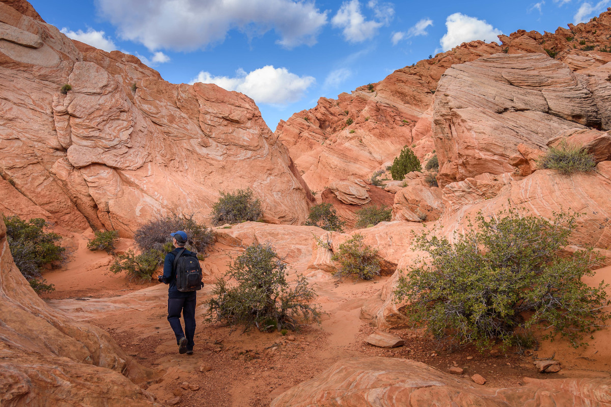
The trail isn’t well marked and can be difficult to follow. Trail reviews indicate that many hikers have gone off trail but are able to make their way down to where the arch is located. This was our experience on our first attempt. We went off the main trail and ended up scrambling through a slot canyon that luckily came out directly behind the arch. Going back, stay to the right as you hike up a steep sandy slope from the arch. We were able to follow the main trail back to the trailhead without any problem.
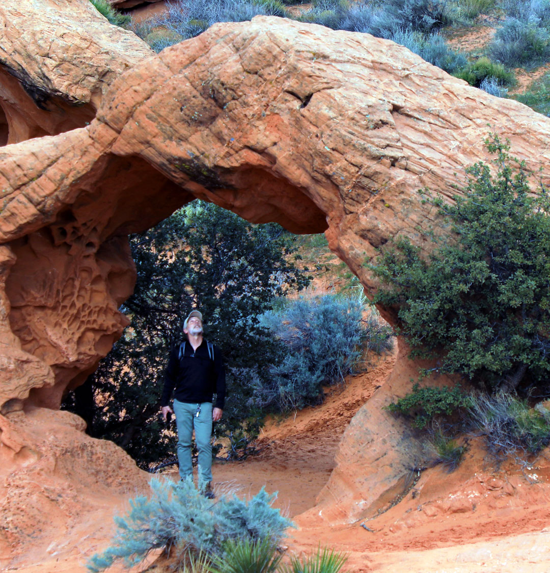
Babylon Arch and Virgin River
The Arch itself is approximately 8′ high on the inside and perhaps 12-14′ high on the outside.
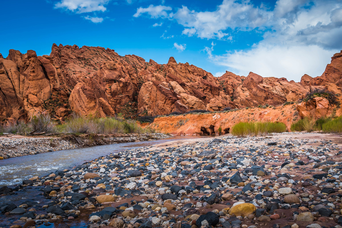
A trail from Babylon Arch continues on to the Virgin River below where sandstone formations wrap around the north and west bends of the river. This is a good place to cool off during the hot summer months. Be aware that Springtime flows are full and fast and that Summer Monsoon thunderstorms can produce flooding. We came across numerous raccoon tracks along the river bank, where we also spotted Canadian Geese foraging in shallow water.
This trailhead is located southeast of Leeds, Utah, but the Arch itself is literally just across the river from Sky Mountain Golf Course in Hurricane, Utah. Be advised that the road from Leeds to the actual trail-head is a bit rough and sandy in sections and can be difficult to negotiate. Four-wheel drive is recommended but not required.
Bring plenty of water if you’re going during the hotter months, there’s not much relief from the baking sun along the trail and the heat radiates off the surrounding sandstone cliffs.



Leave a Reply
Want to join the discussion?Feel free to contribute!