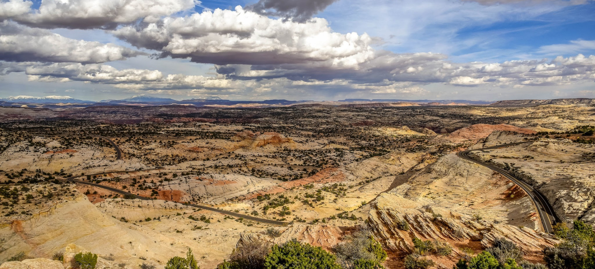
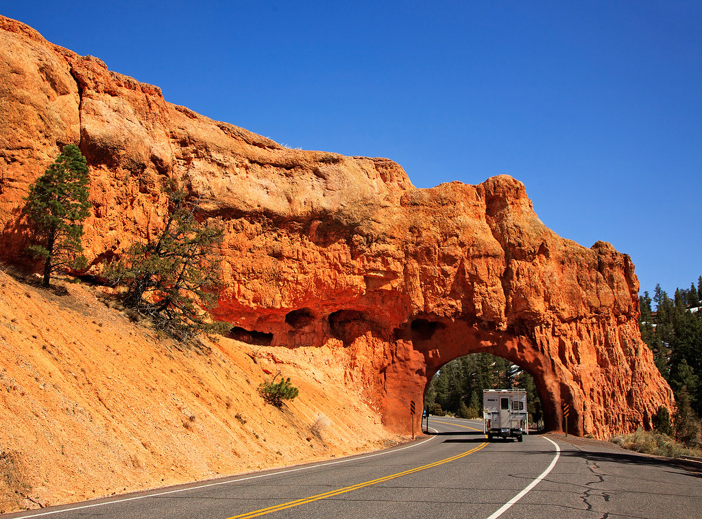
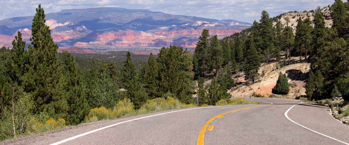
Utah’s Scenic Byway 12 is one of only 31 All-American Roads.
To receive a National Scenic Byway designation a road must be recognized by the U.S. Department of Transportation as possessing one or more of the following intrinsic qualities: archeological, cultural, historic, natural, recreational, and scenic.
The most-scenic byways are designated All-American Roads, which must meet two out of the six intrinsic qualities of a national scenic byway. The designation means they have features that do not exist elsewhere in the United States and are unique and important enough to be tourist destinations unto themselves. In other words, Highway 12 is one of the best of the best!
I take people from all over the country and other parts of the world on Highway 12, we spend a full day on the road but could easily spend a week visiting the many sights along the route. It’s a highlight of the tour.
Here are a few suggestions for you trip down Highway 12. This is short list of the many things you can do and places to visit and explore on this amazing road.
- Capitol Reef National Park Visitor Center – Located in the historic Fruita district on Hwy 24.
- Capitol Reef Country Visitor Center – Located at the SR-24 / Highway 12 Junction.
- Torrey Utah – Torrey is the Eastern Gateway to Scenic Byway 12 and lies about 9 miles west of Capitol Reef National Park. It was settled in the 1880s and reportedly named after Colonel Jay Torrey, one of Theodore Roosevelt’s Rough Riders. The town’s original log schoolhouse is located along the cottonwood tree-lined Main Street (Highway 24).
- Fish Creek Cove Pictographs – A little known pictograph panel located behind Cockscomb Ridge, considered a significant Fremont Indian cultural site.
- Larb Hollow Overlook (Boulder Mountain / Hwy 12) – Larb Hollow Overlook is located 15 miles south of the town of Torrey, directly west of Capitol Reef National Park, and 11 miles east of the Homestead Overlook. Larb Hollow Overlook faces the east from a rocky summit offering views that stretch across the Henry Mountains and the colorful Waterpocket Fold. In the far distance to the east you’ll notice the La Sal mountain range beyond the Henry Mountains. This is where Utah meets Colorado.
- Homestead Overlook (Boulder Mountain Hwy 12) – From this lookout visitors can see the five peaks of the Henry Mountains to the east, the magenta wedge of the Waterpocket Fold below, and the striated face of the Kaiparowits Plateau to the west. Far off in the distance, the slopes of Navajo Mountain. (restrooms)


Leave a Reply
Want to join the discussion?Feel free to contribute!