Tushar Mountains
Utah’s Third Highest Mountain Range
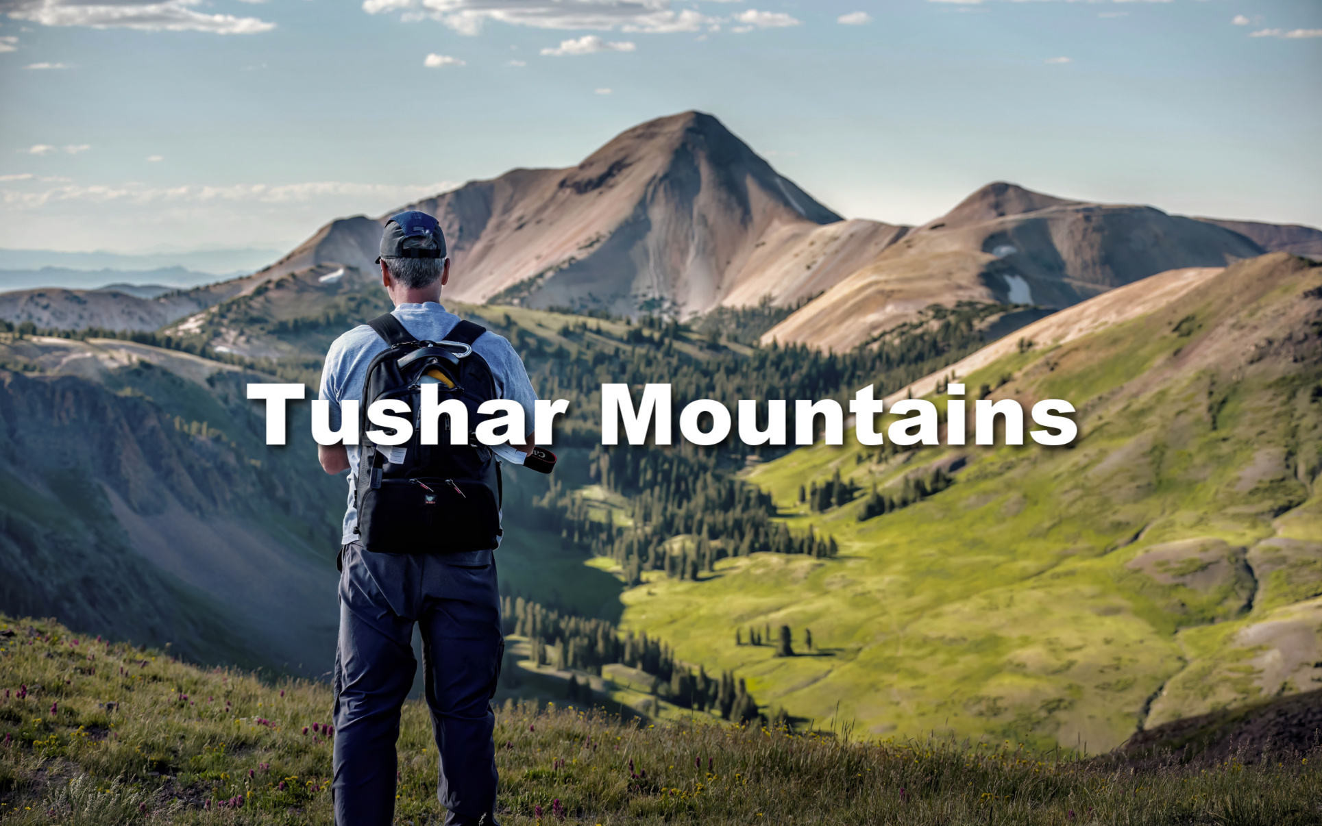
The Tushar Mountains located east of Beaver Utah about two hours south of Salt Lake City are what I like to describe as a “splash of the Colorado Rockies.” Utah’s Rockies are amazing but there’s no denying that Colorado has the upper hand in the lower 48 with the high, majestic mountains category. With towering bald peaks above timberline, the Tushars remind me of the San Juan Mountains between Durango and Ouray Colorado.
Mark and I visit this mountain range often for both work and pleasure, albeit hard to differentiate between the two since we never hike without our cameras. The past four years we have frequented the tops of these peaks on assignments for the county tourism office and have been fortunate to experience many of the highlights this range has to offer. From close encounters with the local population of mountain goats on Delano, the highest peak, to photographing brilliant starry skyscapes, colorful sunsets and the changing of the seasons.
Our Favorite Places
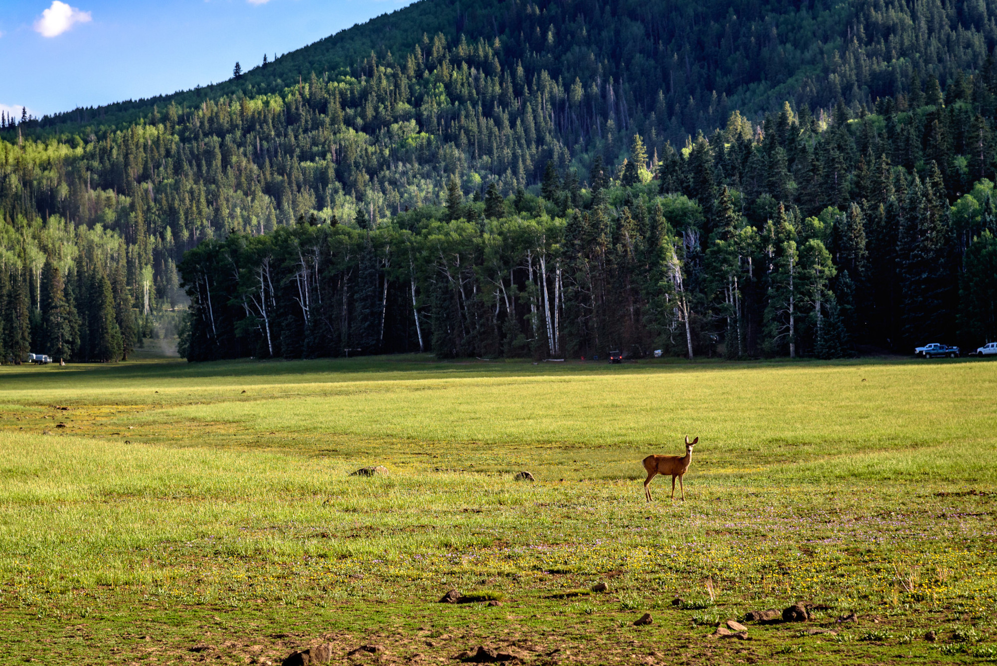
High alpine mountains are the best place to experience the changing of the seasons. The change can be very distinct and fleeting in the high country and often unpredictable. I’m convinced that high mountain ranges create their own weather as do deep canyons. It’s also no surprise that winter is often the longest season.
Favorite Route for Fall Foliage
Fall is our favorite season for photography when the forests become a kaleidoscope of color. A large variety of deciduous trees and brush such as Maples, Oaks, Serviceberry, and Boxelder are found in the lower elevations with Aspens dominating higher up. Some of our best fall photography has been in the Tushar Mountains with our favorite spots on the Kents Lake Road that begins at SR-153 at Little Reservoir.
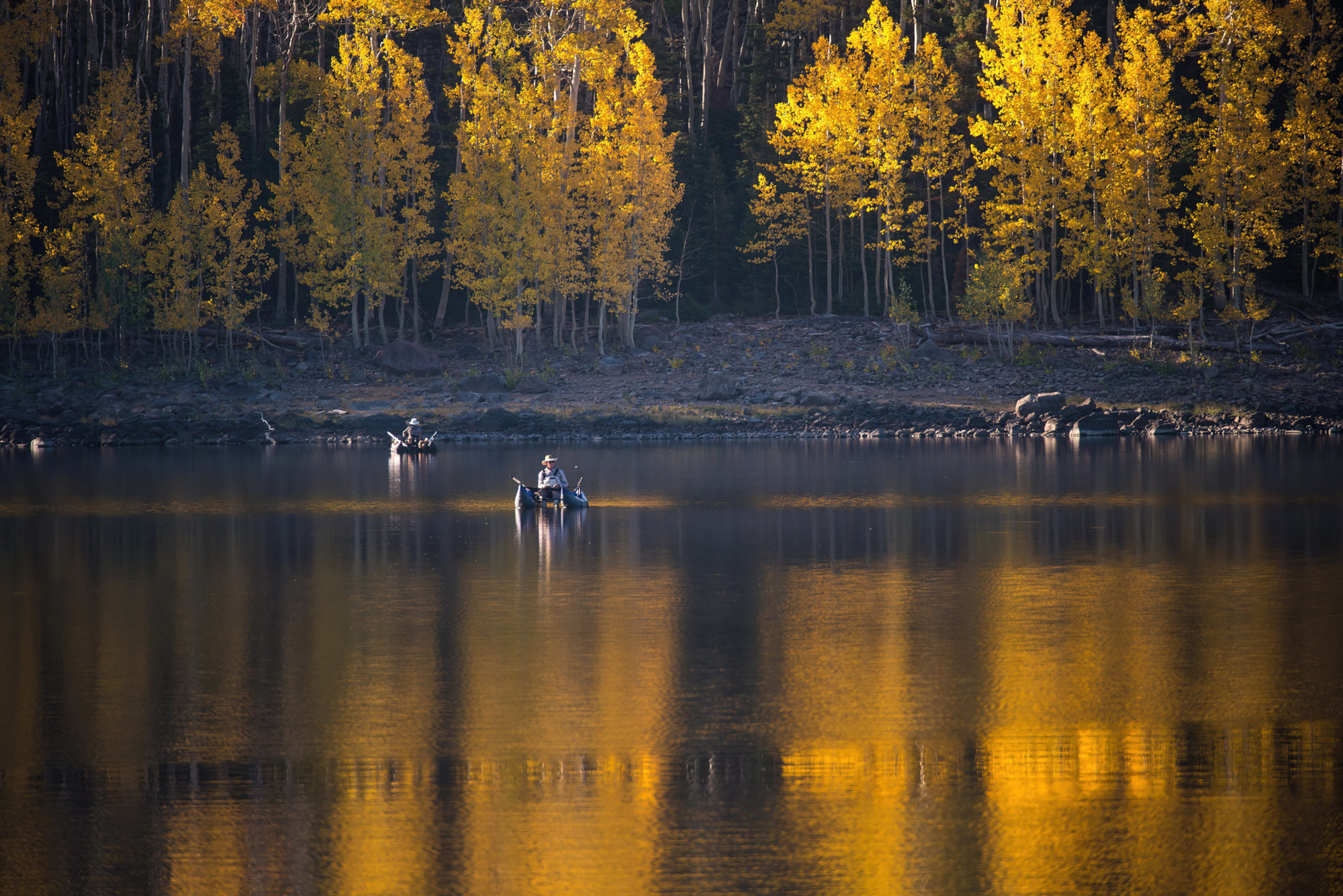
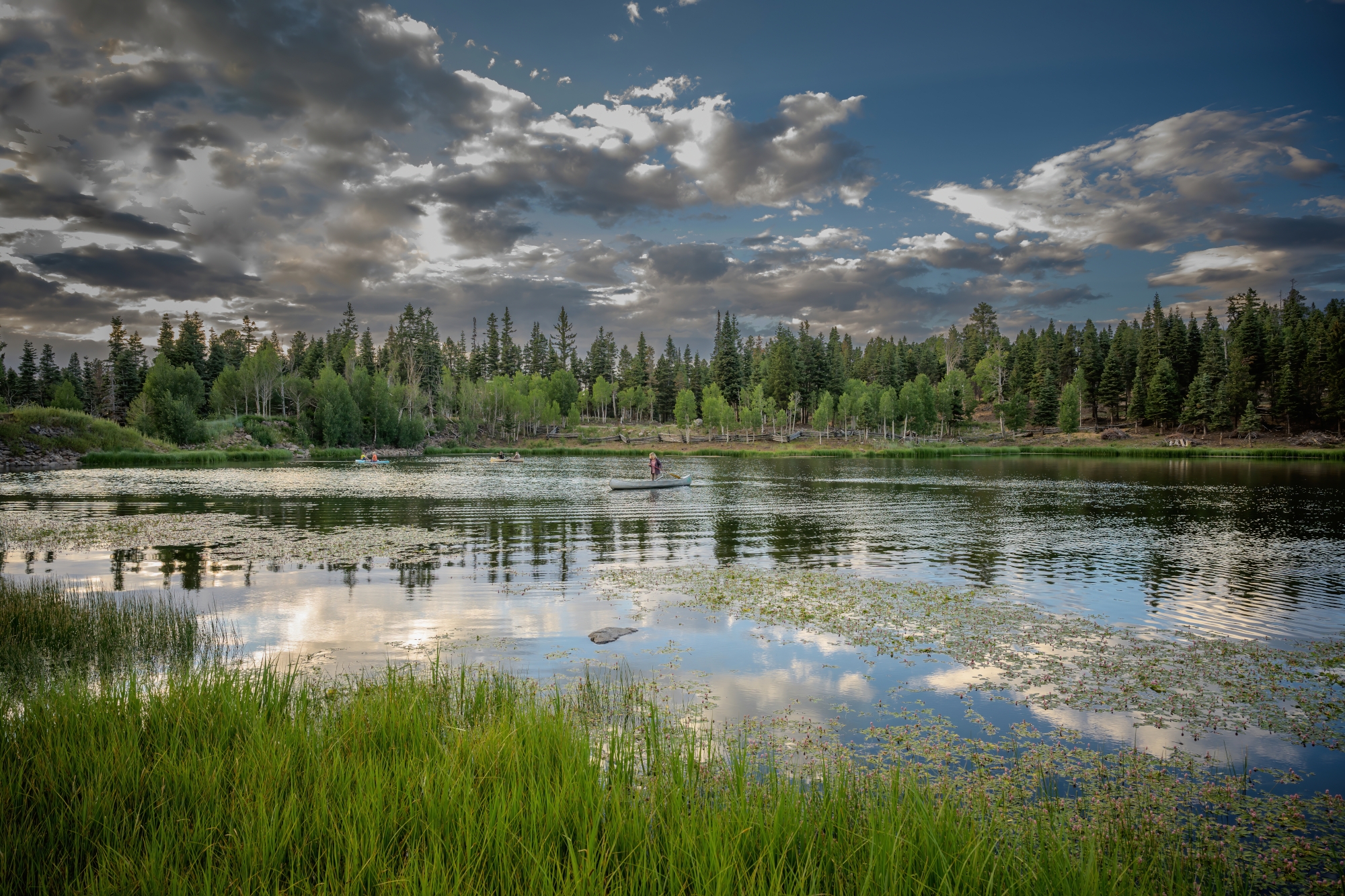
The road quickly changes from pavement to graded dirt suitable for cars and passes several small lakes that reflect the beautiful color of the autumn leaves on glassy water. Campgrounds are located at the lakes where fishing, canoeing are popular activities. The route eventually makes its way back to SR-153 approximately 16 miles from where it started. (See map below)
Favorite Place for Snowmobiling
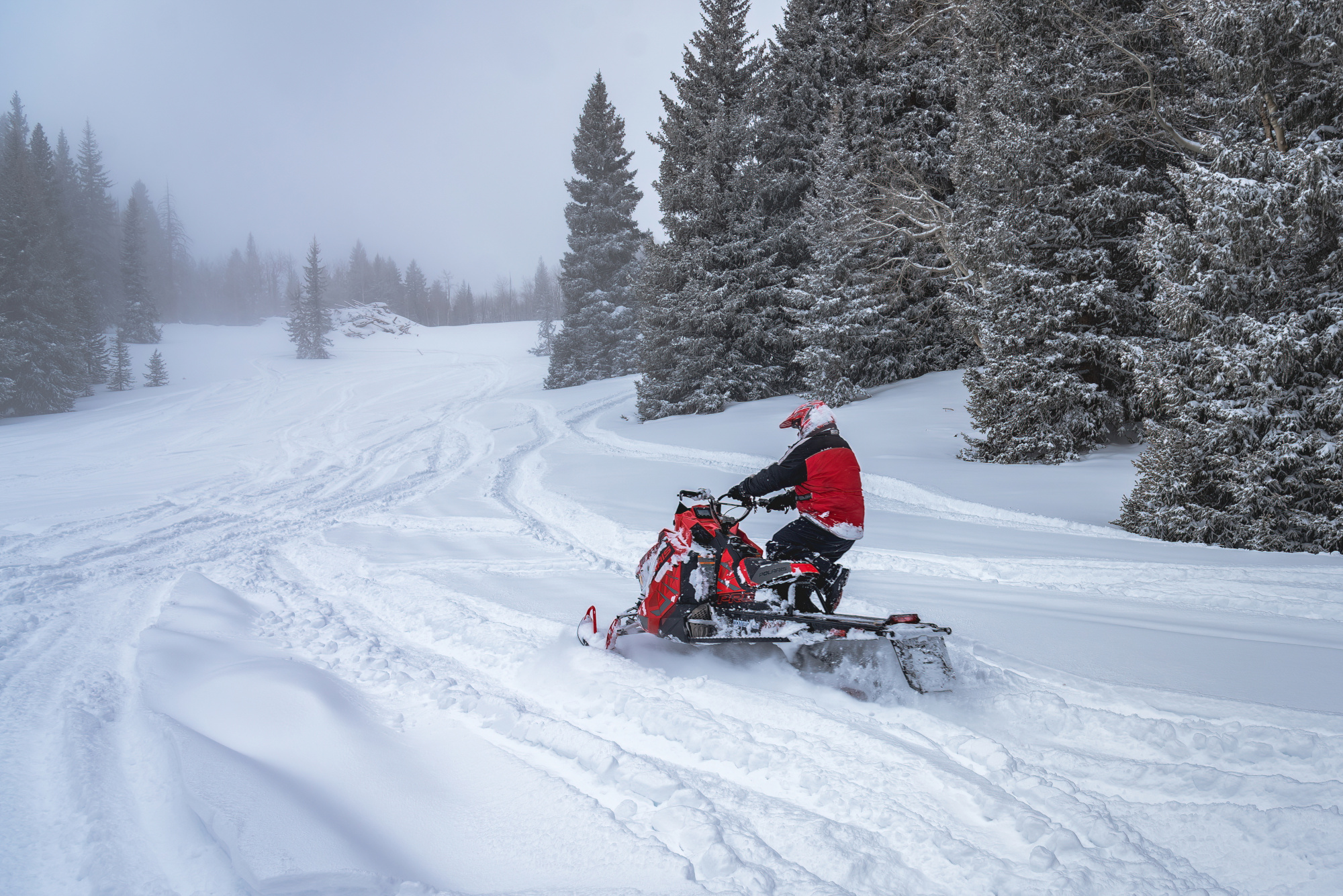
Located southeast of Puffer Lake, Big Flat is popular for camping summer and fall but during the snowy months of winter it becomes a primo destination for snowmobiling. Follow SR-153 past Eagle Point Resort and Puffer Lake, the road levels out into large open meadows. SR-153 is closed beyond Puffer Lake in the winter months.
Snowmobile Haven
Filled with forest trails and open meadows, Big Flat is the ideal place for variety, deep powder and whoop-de-do riding. This is where we like to go! For snowmobile tours we call on Tucker High Adventure Tours at the base of the canyon in Beaver. If rentals are your preference visit Rock’n J Rentals.
Favorite Place to Ski
This is without saying considering Eagle Point is the only alpine ski resort in the Tushars. Nevertheless, it would still rank high as a favorite regardless of the location. This is not a mega resort with mega prices and mega lines. It’s kept its small resort charm and appeal over the years since its origins as Mt. Holly. We love this resort both summer and winter.
Summer
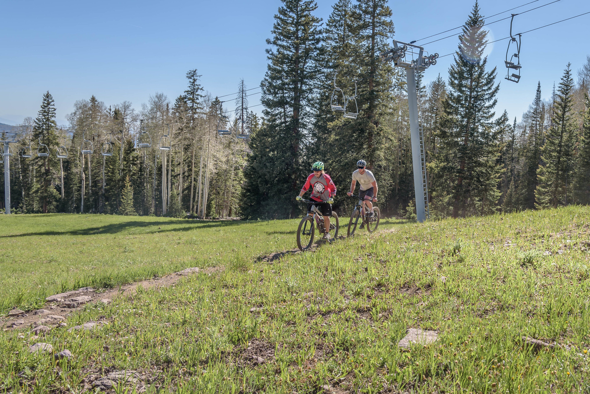
During the summer months there are 11 miles on 5 single-track trails with access to hundreds of miles of trails beyond the resort. Mountain bike rentals and guided tours are available at Tucker High Adventure Tours. Fishing is nearby at Puffer Lake only 2.5 miles from the resort and the Paiute ATV Trail system is also nearby.
Winter
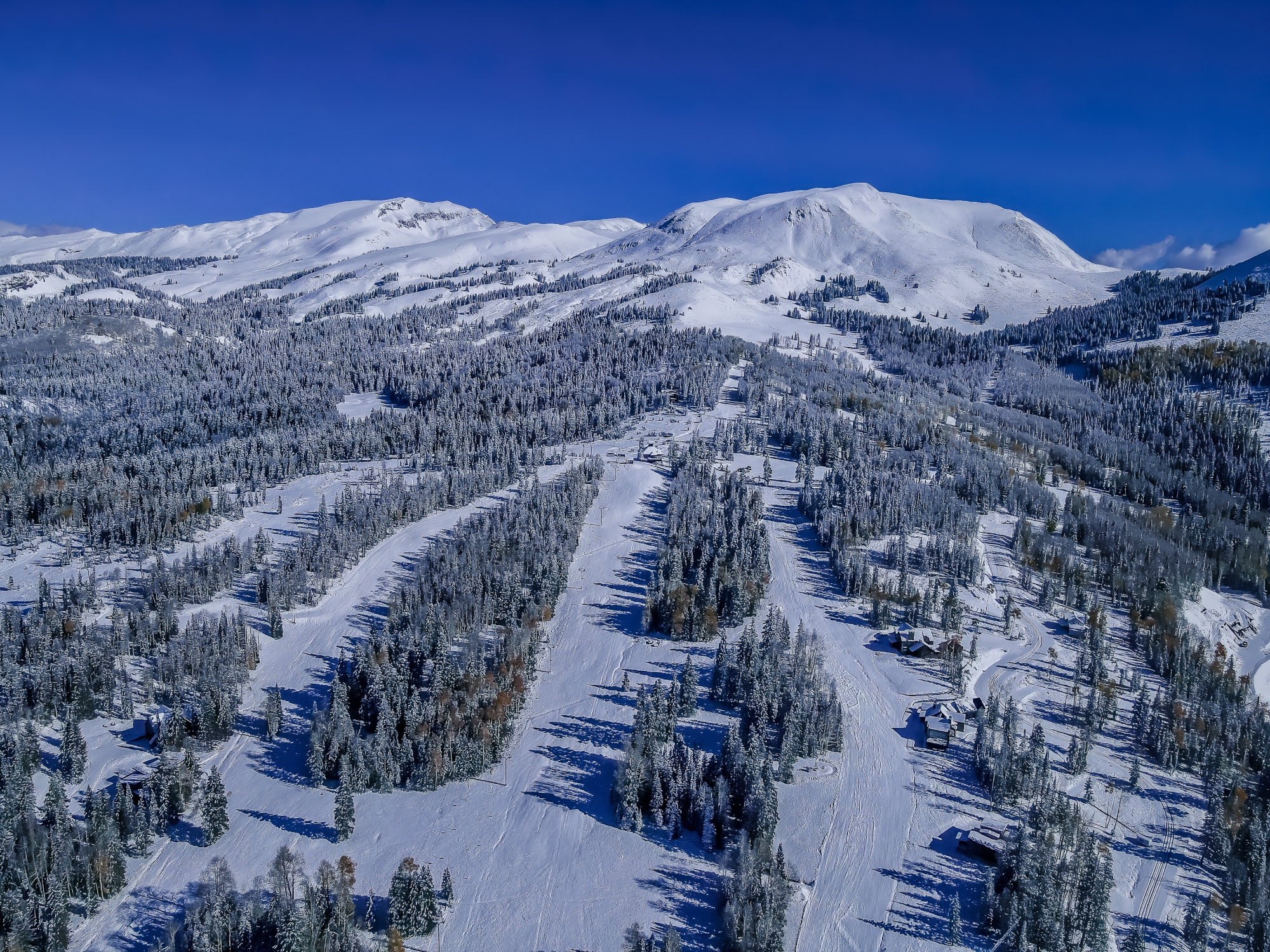
Eagle Point has long been a favorite resort for local skiers and has become well-known to skiers in Las Vegas and southern California over the years. Northern Utah skiers are finding their way down on an easy two-hour drive from the Wasatch Front. Eagle Point gets the same world famous “Greatest Snow on Earth” without the lift lines and prices of the bigger resorts up north. The terrain offers a nice variety of trails for all levels.
- 9,100’ base elevation
- 10,600’ summit elevation
- 1500’ vertical
- 650 lift-served skiable acres
- 40 named runs
- 5 lifts
- Terrain Park
Eagle Point is open Friday – Monday, closed Tuesday to Thursday. The benefit to being closed mid-week is fresh tracks on the weekends.
Lodging
The resort operates and manages numerous cabins and condos with rates starting at $149 night (2022/23 season) This is where we stay when camping on a soft bed sounds better than the alternative. The resort is close to all our favorite places and is great for night sky photography.
Backcountry
The Fishlake National Forest coupled with the variety of flat, steep, and deep on the Tushar Mountains make the ideal backcountry terrain for skiing, splitboarding, snowboarding and cross-country skiing. Many of the same trails used for mountain biking, off-roading, and hiking serve the winter recreational needs as well.
Then there’s the bald peaks with steep and deep for those looking for something more challenging, deep and untracked. We highly recommend using a mountain guide who knows this terrain and has all necessary equipment. For these services we again recommend Tucker High Adventure Tours. The guys at the shop can steer you in the right direction for the best backcountry places to explore and can even rent the equipment needed. If you prefer to go with a guide, they do that too.
Favorite Off-Road Trails
This past year we spent a great deal of time riding OHV (off-highway vehicle) trails throughout Utah due to contracts we have with counties and OHV organizations to video and photograph trails. Neither Mark nor I own an off-road machine, but we probably spent more time in one than many who do.
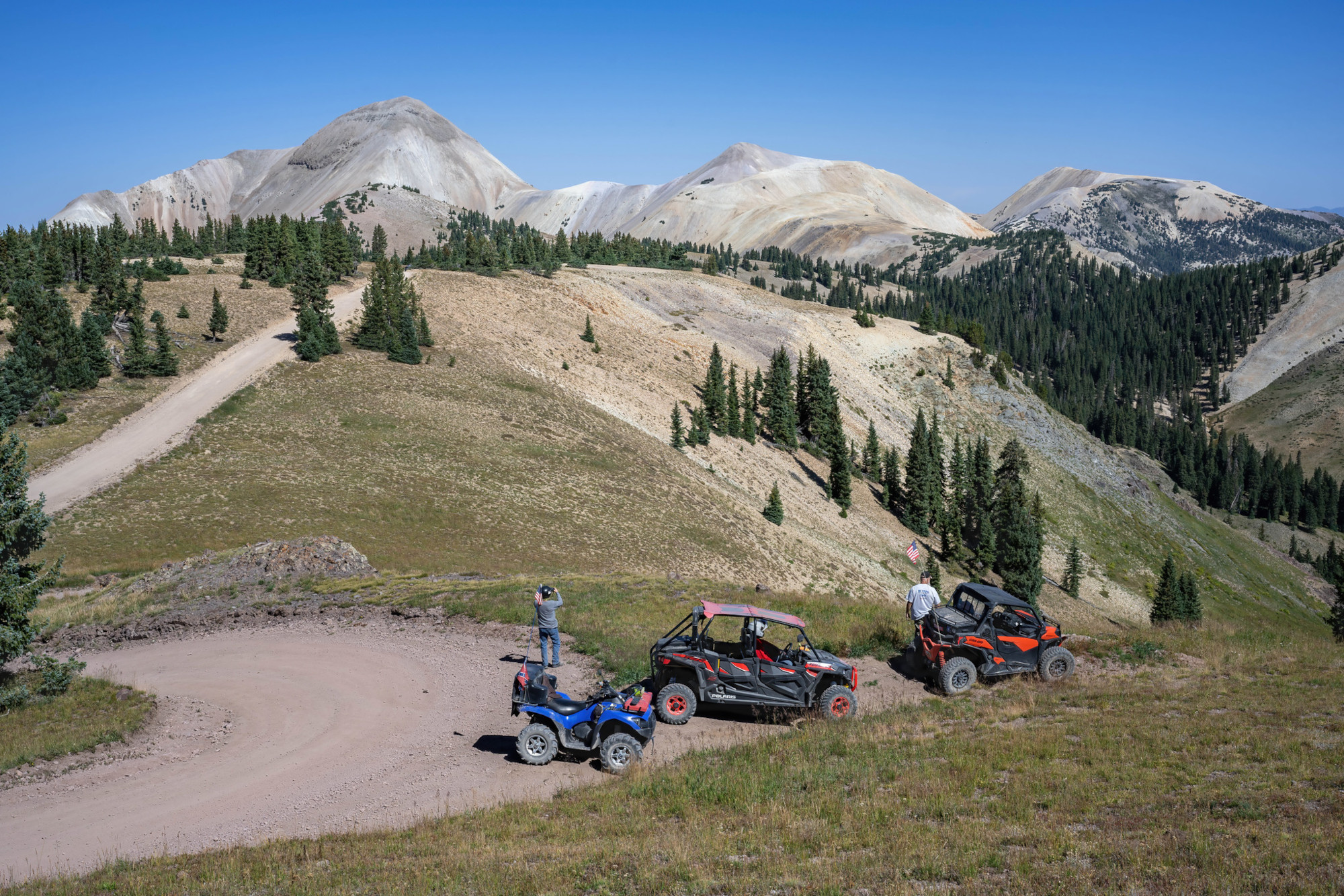
The world-famous Paiute ATV Trail is one of the trails we spent several days on throughout the summer and fall. The main trail, side trails and other connecting trails run throughout the Tushar Mountains from the town of Marysvale to Beaver and from Interstate-70 near the Fremont Indian State Park to the town of Circleville, and we rode most of the miles from each of these trailheads.
The Paiute system is quite extensive with more than 350 miles of trails plus another 600+ miles of trails that are within a larger network. We were able to ride most of the Paiute system and several that connect with it. The Paiute Trail originated in Circleville a town located on the eastside of the Tushar range with Marysvale near Big Rock Candy Mountain becoming a principal trailhead and considered the off-road capitol of the world. To learn more about the Paiute ATV Trail click here.
Favorite Place for Wildlife Viewing
Although the mountains are filled with wildlife including mountain lions, black bears, elk, mule deer, and hundreds of species of bird, the peaks are where we like to go to see mountain goats.
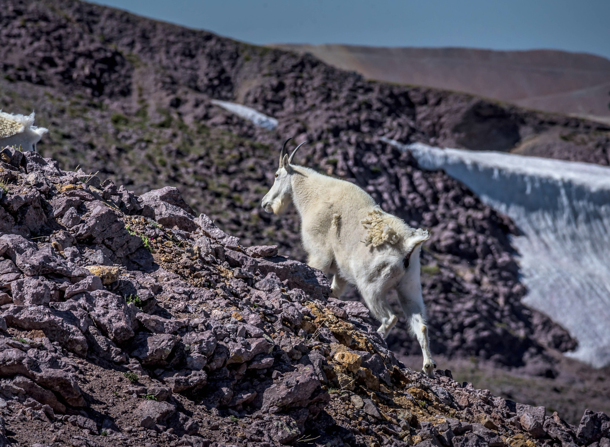
Delano Peak, the highest peak at 12, 169 ft. is where we most often find them. Delano may be the highest point in the Tushars but it’s also one of the easiest to climb from the west. The peak is sloped and grassy unlike the neighboring peaks of loose rock debris (scree) at the base of a steep incline. The goats are generally found on the steep craggy east side of the peak. The Tushars are one of only a few places in Utah where mountain goats can be seen.
Each summer, usually in July, the Utah Division of Wildlife Resources holds a mountain goat public viewing event in the Tushar Mountains. This is a great opportunity to see the goats with a biologist.




Leave a Reply
Want to join the discussion?Feel free to contribute!