Beaver County Utah
West Desert
West Desert Adventure!
Beaver Utah is located in southwest Utah 50 miles north of Cedar City and 50 miles south of Fillmore on Interstate-15. Anyone who has driven to Salt Lake City from southern Utah has either driven right on through, or has made a pit stop for gas, goodies, restrooms, or for ice cream at the Creamery.
The best known feature of the county is the Tushar Mountains located east of Beaver. The Tushars are the third highest mountain range in Utah and home to Eagle Point Resort, a popular ski and mountain resort. The popular Paiute ATV trail is also located in the Tushar Mountains. To the immediate west of Beaver are the Mineral Mountains and farther west closer to the Nevada border are the San Francisco and Wah Wah Mountains.
What we discovered on the west side of Beaver County is a place that off-roaders, hikers, and explorers in search of uncrowded adventure, history and the unusual will enjoy.
For the past month or so we have been exploring this west section of the county. We expected to find some interesting places based on what we learned through research and information provided by the county tourism office, but what we discovered in person exceeded our expectations. Our exploration of the area uncovered a treasure trove of historic sites, trails, recreation areas and opportunities that we generally haven’t see in southern Utah, and there is so much more to be explore.
Frisco Ghost Town
Located on the southern tip of the San Francisco Mountains on the Ely Highway (Hwy 21) 15 miles west of Milford Utah. You have to watch carefully for the turn off from the highway, there’s a non-descript memorial marker next to a covered picnic table, which is where you turn to take the road to the old mining site. There are two roads behind the memorial, take the left road. The road to the right is marked with no-trespassing signs. Frisco is on private property so please be respectful.
Harsh Existence
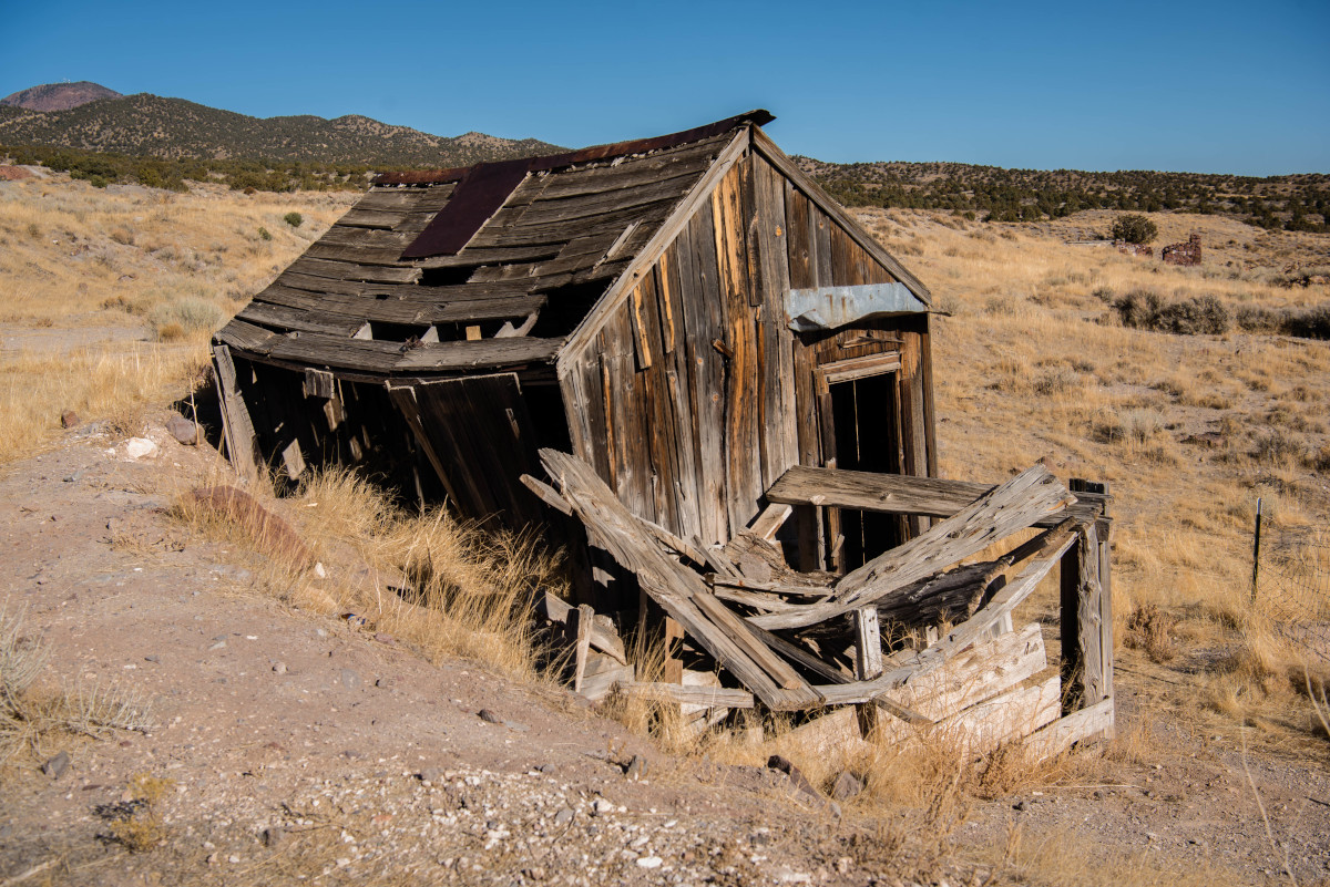
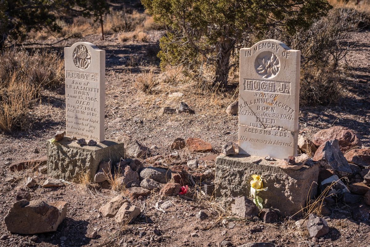
The left road ends at the Frisco Cemetery, which is where we parked. The cemetery is typical old west with faded stone markers sparsely scattered within an unkept fenced area. It must of been a harsh existence in this isolated mining town on the rugged slopes of the San Francisco Mountains in southern Utah’s west desert. What caught our attention were all the gravesites of young children and babies of families attempting to make a living in this dry and desolate environment. We can only imagine the heartache and pain suffered by the families coming here with high hopes of finding a path to a better life. Old western cemeteries like this often give clues to what life must have been like.
Frisco’s History
From here we hiked north across a wash until we came to a road that lead to what must have been a town next to the mining operation. From our research we learned that silver was discovered in 1875 by a couple of prospectors who sold their claim for $25,000 thinking they had struck it rich. Little did they know at the time that Frisco would become the richest silver mining operation in its day that would ultimately produce over $50 million in silver. By 1877 there were two smelters, one of which had the unusual feature of beehive shaped charcoal kilns, which are located east of this site. Eventually an extension of the Utah Southern Railroad was brought to Frisco that was completed in 1880 opening Frisco to the rest of the country, the population grew to 6,000. The Horn Silver Mine at this time was considered the richest silver mine in the world.
Lawlessness Ruled the Day
Like most mining boom towns, violence was the rule of the day, murder became a daily occurrence. To clean things up a sheriff was hired to quell the lawlessness. A man by the name of Pearson from Pioche Nevada was hired to do the job. After showing up in town, Sheriff Pearson immediately began gunning down the town’s known outlaws. Pearson was said to have run the town with an iron fist that nobody dared cross, and Frisco’s lawlessness was resolved in short order, which made the sheriff a bit of a celebrity in the history of the Old West.
The End of the Town
Frisco thrived until the largest mine collapsed on February 2, 1885. They say the collapse was so immense that they could feel in in Milford. Eventually the mine reopened with the exception of its richest parts. The town was never able to fully recover from the mining disaster and by 1920 was all by abandoned.
Exploring the Hillside
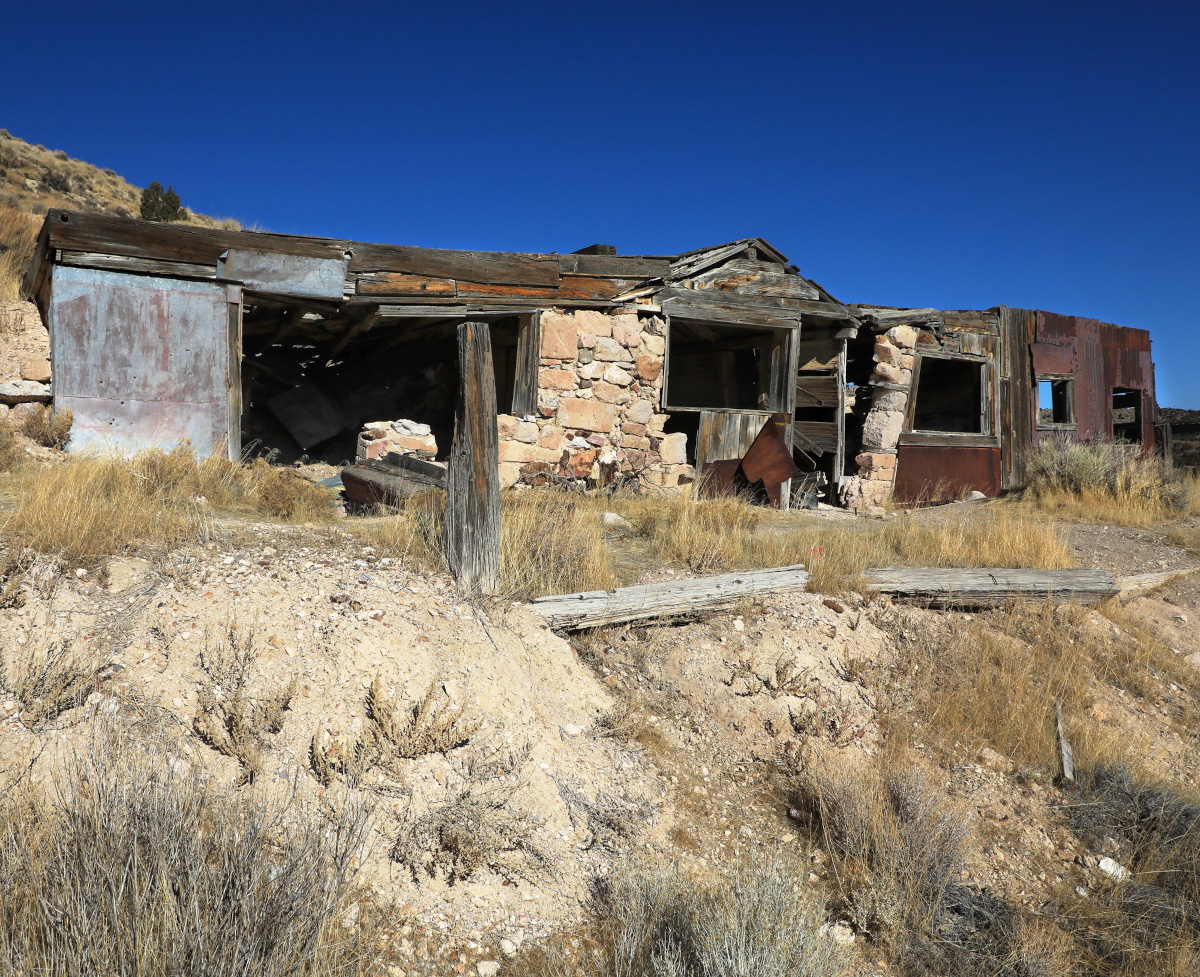
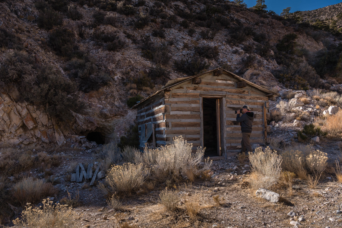
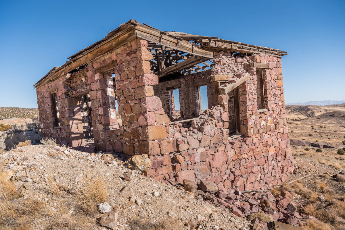
As we continued exploring the area we came upon a number of old dilapidated buildings, some of wood, others of stone and brick. On the hillside above the ruins are roads leading to mine shafts that have been grated closed to prevent people from entering them. We followed one such road the traversed the hillside that eventually lead to a cabin that was still in relatively good repair next to a grated mine shaft. We spent three hours exploring the area and could have stayed longer but had other places to visit before dark. We left knowing that we would be back believing we only scratched the surface with the time we had. For more information on Frisco’s history click here.
The Beehive Charcoal Kilns
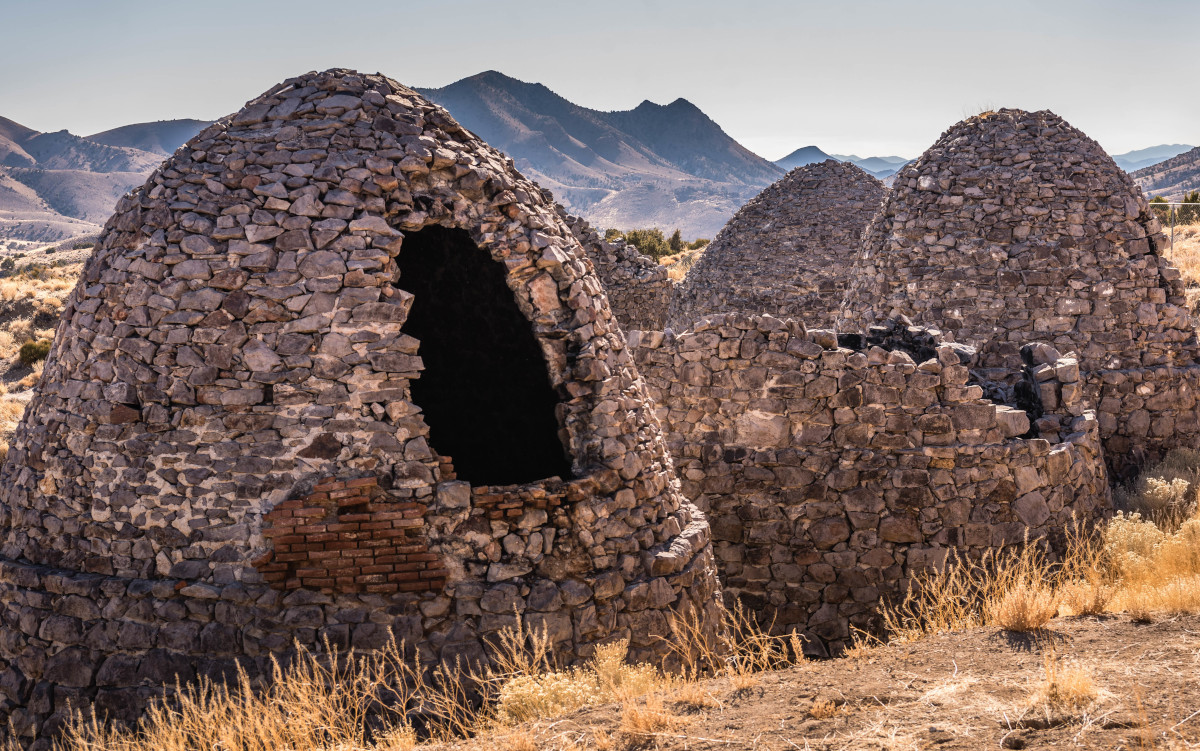
About a mile from the Frisco cemetery are five beehive shaped charcoal kilns that were used for smelting, which is the process of extracting metal from ore. Click here for the route.
The use of kilns in Utah for smelting began in 1872. In all, there were a total of 36 beehive shaped smelting kilns operating in this mining district. The five surviving charcoal kilns at Frisco were built between 1877 and 1880 for the Horn Silver Mine. Although they are the same general shape their sizes vary from 16 to 32 feet in diameter. As you can see in the photo, they are in a various state of decline. Some missing the top or back while at least one or two are completely in tack. The kilns were added to the National Register of Historic Place in 1982. There are kilns similar to these throughout Utah, such as those located at Old Iron Town west of Cedar City.
Rock Corral Recreation Area
Nestled at the head of Corral Canyon in the Mineral Mountains 10 miles east of Milford is the Rock Corral Recreation area. This was a great surprise to us. We heard the area was popular for rock climbers and rock hounding, but we were unprepared for how stunning the granite domes and cliffs were that wrapped around us as we drove closer to the trailhead.
Granite Peaks and Domes
Living in southern Utah we’ve become accustomed to seeing red! Red sandstone cliffs, canyons, buttes, and mesas. Granite is not often seen in our lenses, which makes these mountains uniquely stand out. Granite peaks surrounded us as we drove closer to our destination, which was the end of the road where a day use area provides restrooms, fire pits, and picnic tables.
Things to Do
A variety of recreational opportunities are available here from hiking, rock hounding, rock climbing, primitive camping, and horseback riding. On this particular day there was just one other car in the parking lot that was from Texas. As we were driving out we came upon a couple from Salt Lake City that had just finishing climbing. Those were the only people we encountered. We were disappointed we didn’t see them sooner to shoot a few photos.
One we parked we could see a nearby hiking trail so we jumped on, but it wasn’t long before it became a bit confusing, the trail was not marked and became less obvious. As we so often do, we bushwhacked our way to where we could find something that resembled a trail. We didn’t have much time for hiking since we were losing daylight so we climbed and scrambled to a highpoint where we could get a better view of our surroundings. There are most likely better trails here that are easier to follow, but that would be too easy! We rarely take the road most traveled, which isn’t always by design.
Geocaching
For you geocachers, we have read that this is a great location for geocaching. The literature described it as a geocache paradise. “You could spend hours hunting out a wide range of caches that are spread through the desert floor.” This isn’t something we participate in but we’ve had many a tour customer that does. Maybe we should.
Rockhounding
We’ve heard from folks in the county that within these granite monoliths and domes is a rockhounding mecca, and that the best place to start looking is within a half-mile circumference of the picnic area. Some of the most common finds include smoky quartz and feldspar crystals. Again, no time for rockhounding this trip, we’ll definitely add this to our “to do” list on our next trip and bring our rockhounding friends that know what they’re looking for.
How to Get There
From Beaver, go west on SR-21 to Milford. As you near Milford watch for a sign that says Rock Corral Recreation Area, turn right here on to the Pass Road. At the fork go left to Rock Corral and Upper Ranch Canyon Road. At the next fork, a right will take you to the day-use and picnic area and a left will take you to the camping area. Click here for a Google map.
Roosevelt Hot Springs
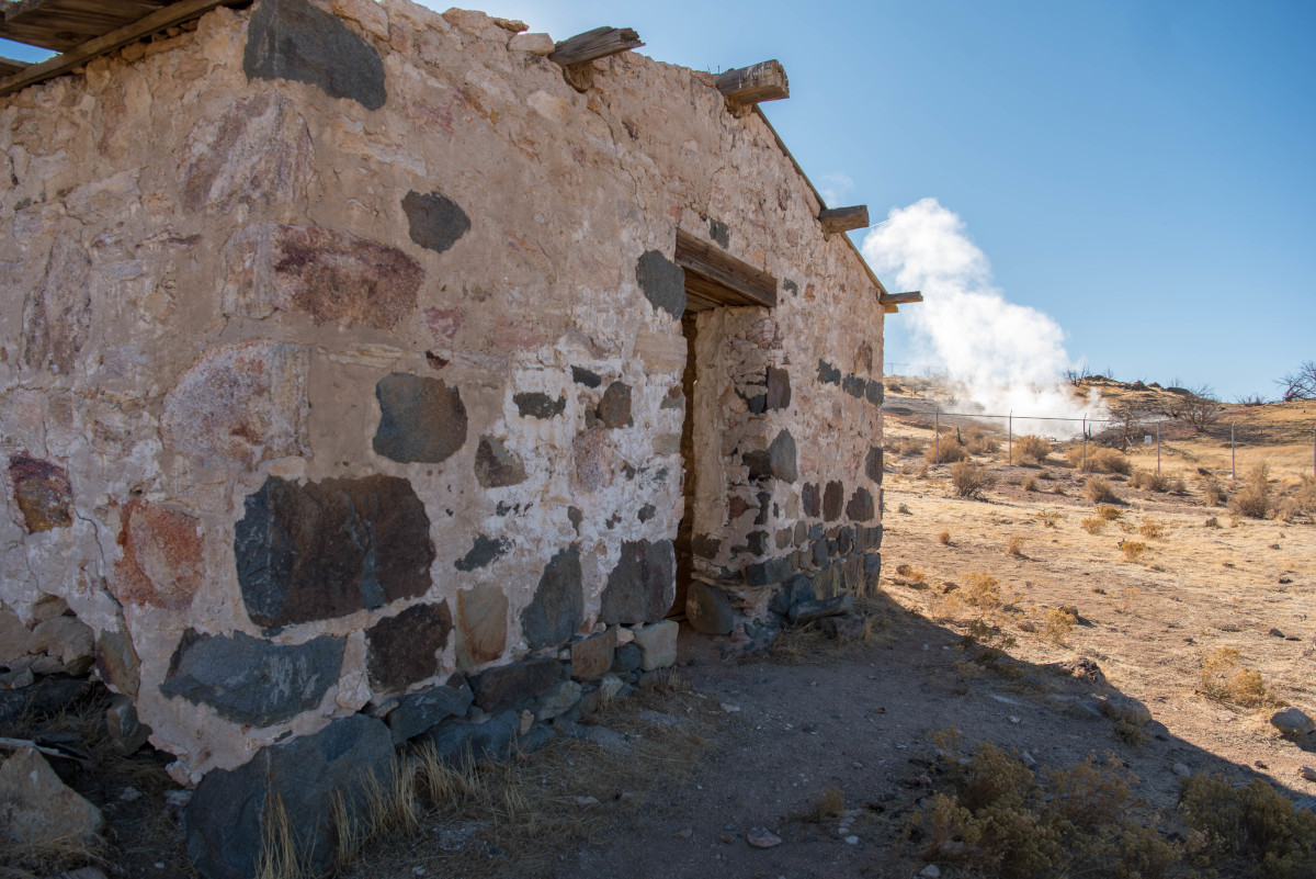
Roosevelt Hot Springs is located near the Blundell Geothermal Plant just west of the Mineral Mountains about 11 miles northeast of Milford. The hot springs resemble something you might see at Yellowstone with its bubbling pools, boiling mud puddles, and hissing fumaroles. The springs rest above what is believed to be a patch of cooling magma, this is Utah’s hottest geothermal system. I guess it’s no surprise that a geothermal plant would be located here considering this is the hot spot in Utah for this type of activity. The springs are fenced off to keep curious wanderers from getting cooked like a lobster.
Mag’s Brothel
Right outside the fence of Roosevelt Hot Springs are the remaining structures from a former Inn and bathhouse with the remnants of a swimming pool. I guess this was quite the retreat in its day. Miners frequently made the trip from Frisco and Milford.
Rock Cabin
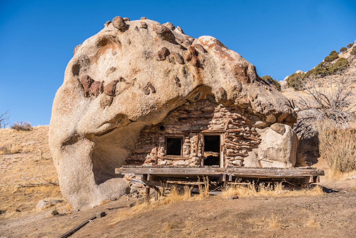
We’ve seen hollowed out sandstone houses in the Moab area, and even a house built within boulders on highway 89A in Arizona, but this one has it’s own uniqueness. Nicknamed the Chocolate Chip Rock, I call it the Flintstone House, but it’s best known as the Rock Cabin.
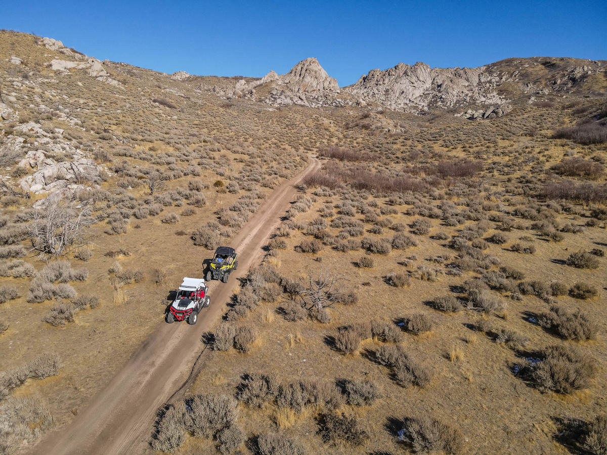
The assumption, legend, or story, as it were, is that it was built around the turn of the century by a skilled miner who took up moonshining as a supplier to Mag’s located not too far away. The cabin is built in a hollowed out section of a large boulder. The Milford Flat fire of 2007 torched the area and burned the inside of the cabin, but the exterior wall remains intact. Visiting the cabin is done best by off-road vehicle. See map below for location and directions.
For more information about Beaver County visit www.rambersutah.com



Leave a Reply
Want to join the discussion?Feel free to contribute!