Five Places To Social Distance in Southwest Utah
Find open spaces in Washington County Utah
The recent announcement of Utah moving the risk level of Covid-19 to “moderate” lifts some of the restrictions from the state directive, but guidelines will remain in place for social distancing, masks, and group gatherings. This is a positive step forward but we’re not out of the woods yet.
With Covid-19 directives, orders, and restrictions in place, Mark and I decided to use this time to explore places close to home that we thought would be less crowded and where social distancing is possible. In the early stages of Covid-19, Zion National Park was still open, so we hiked on the east side of the park where fewer people wander. Since the park’s closing we shifted our interests to places we haven’t seen before or have visited in a while. Not only did we find places where social distancing is possible, in some cases we were the only ones on the trail. We’re not including areas of Zion National Park on our list since it’s currently closed. There are, however, many places in the park where you can find yourself away from crowds. I’m speculating that Zion and many other parks that are currently closed will reopen by mid to late May.
Outdoor Therapy
When life gets crazy, as it often does, I turn to exercise to to relieve stress and clear my head. Running and cycling were my exercises of choice in the earlier years, hiking is my therapy of choice these days. I should mention here that Mark and I have traveled only in our county during this period. We stay away from gatherings and make it a point to adhere to the state’s directive, which doesn’t prohibit us from spending time outdoors. Being outdoors is therapeutic, fresh air changes one’s outlook on life and fills the lungs with renewed energy and optimism.
Five Outdoor Places for Social Distancing
There are many areas of southwest Utah where you can safely practice social distancing outdoors. We have narrowed our list to five recommendations from the places we’ve explored these past few weeks. We can’t guarantee that you’ll find the trails as empty as they were the days we visited them, but they are less likely to be as crowded as the parks and other outdoor attractions of this area. NOTE: Utah recently changed its status on travel. Guidelines remain in place for social spacing, gathering in groups, wearing masks, etc. Please check current travel restrictions prior to visiting the area. You can get the latest information HERE.
Yant Flat
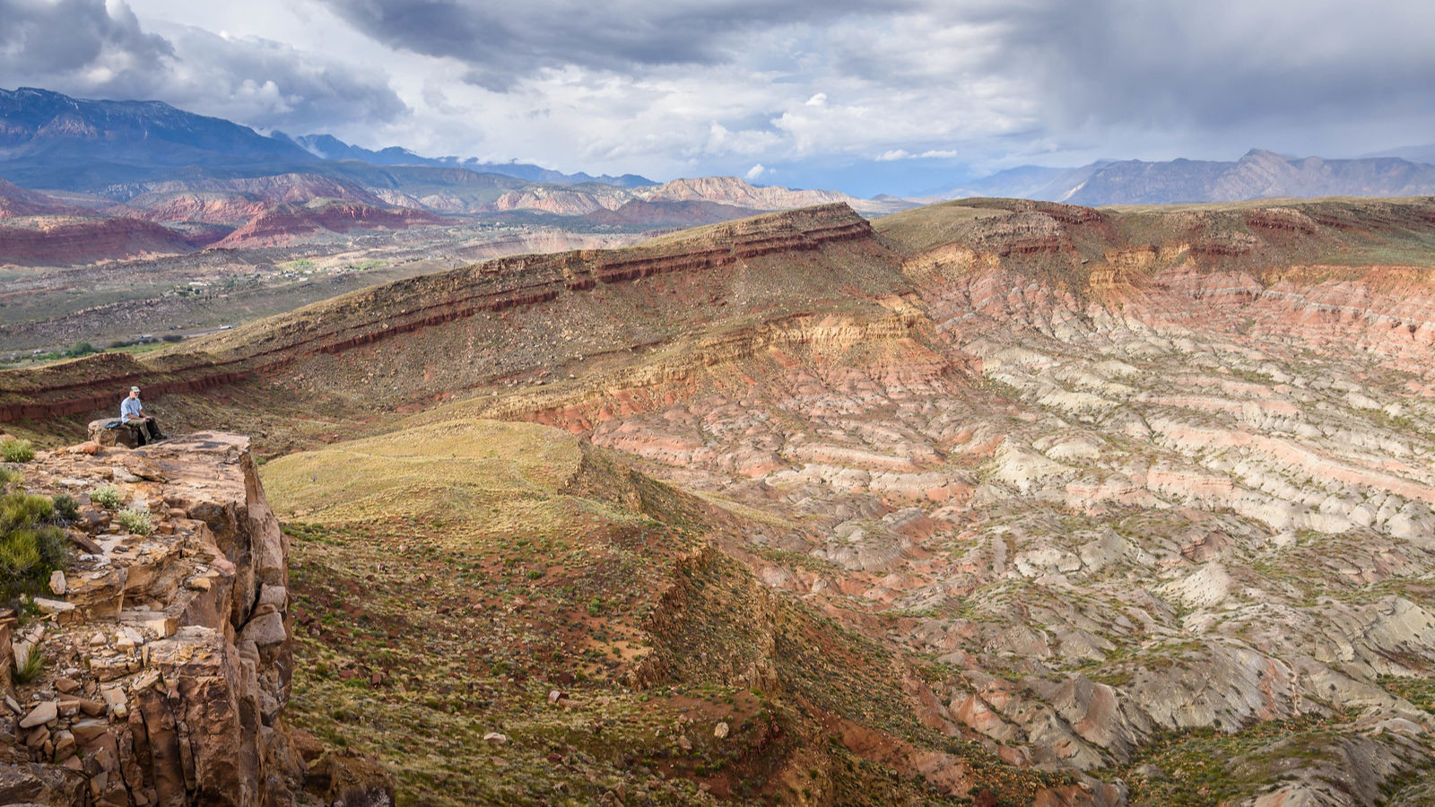
Yant Flant is becoming an annual trek for us with each trip offering new discoveries in the many canyons, cliffs, and hideaways of this unique landscape. It’s an adventure we look forward to that’s close by, so close in fact, from its higher points we can see the D on the bluff in St. George, landmarks in nearby Hurricane Valley, and the West Temple at Zion National Park.
Yant Flat is not a widely known place, yet it’s one of those otherworldly places that might resemble an alien planet that we often find in remote regions of southern Utah and Arizona. The textures and patterns of Yant Flat are outrageous. It’s cross-bedding gone wild on massive sandstone dunes, domes, canyons, and cliffs strewn across the outskirts of Red Cliffs National Conservation Area and at the foot of Pine Valley Mountain. The trail, Anna’s View Point, is an easy to follow 3.5 miles out and back trail that’s great for families. Once you reach the cliffs (aka Candy Cliffs) you’ll want to be mindful of little children with the many steep slopes. Click here for more details.
The Vortex
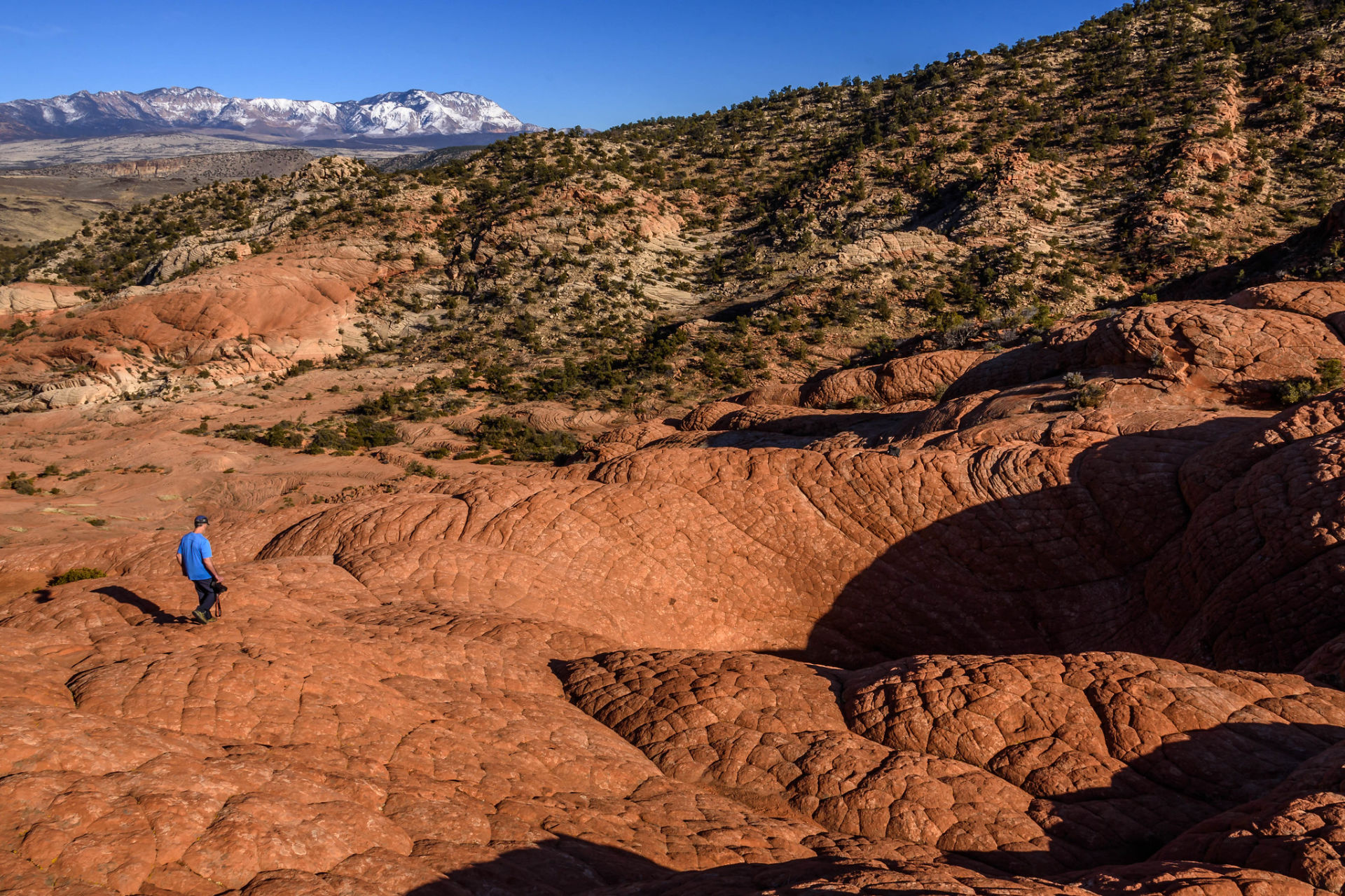
The trail leading to The Vortex is not obvious and can be a bit difficult to find if it’s your first time. There are many “mini trails” that all seem to funnel to where you ultimately want to be with an occasional cairn that vaguely lead to the Vortex site. We ended up taking a different route back that took us farther east of where we started but it was easy to find the trailhead where we started.
Slightly more than 2 miles out and back, the route to the Vortex is on a variety of trail surfaces from rocky terrain at the beginning, soft sand in the middle, and sandstone (slickrock) at the end. Large petrified dunes are the predominant formation with washes cutting through sandstone and lava rock. For those who are familiar with Yant Flat, the surrounding terrain of cross-bedded sandstone often referred to as elephant skin, resembles the landscape of the Red Cliffs National Conservation Area between Washington and Silver Reef. Click here for more details.
Eagle Crag
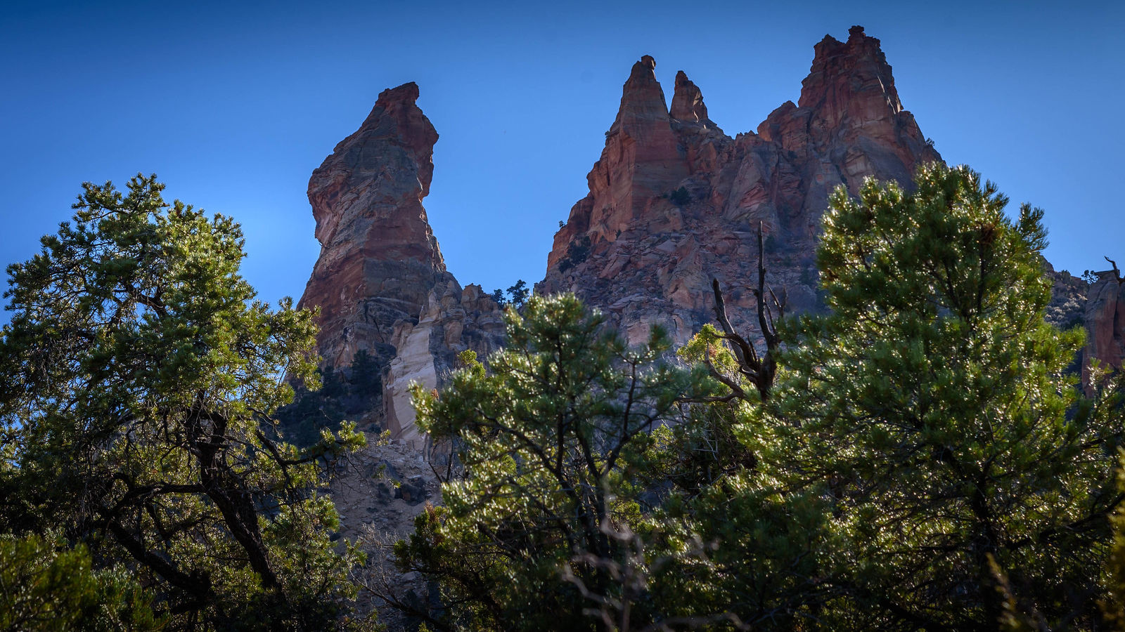
Located south of Rockville west of Zion National Park is Eagle Crags trail. Eagle Crags are a ridge of jagged sandstone spires and peaks of the Vermillion Cliffs extending north of Lower Mountain in the Canaan Mountain Wilderness Area. They are easy to spot from SR 9 as you’re heading to Zion National Park. The mountain itself dominates the skyline with a large rocky spire on the eastern slope known as Mrs. Butterworth.
This six-mile lighted traveled out and back trail is rated moderately strenuous with steep grades, deep sand and uneven rocky surface with just over 1,000 ft. of elevation gain.
The views of Zion, Parunuweap Canyon to the east and of the western mesas along SR 9 are spectacular and are the highlight of this hike. Allow 3-4 hours for frequent stops to enjoy the views. Spring and Fall are the best seasons to visit this trail. Winter is doable but could have snow on the trail in the upper elevations. Summer can get extremely hot but not out of the question if you leave early and take plenty of water.
To access the trail, you must cross the bridge in Rockville and keep going south on the dirt road. Click here for directions and more details.
Babylon Arch
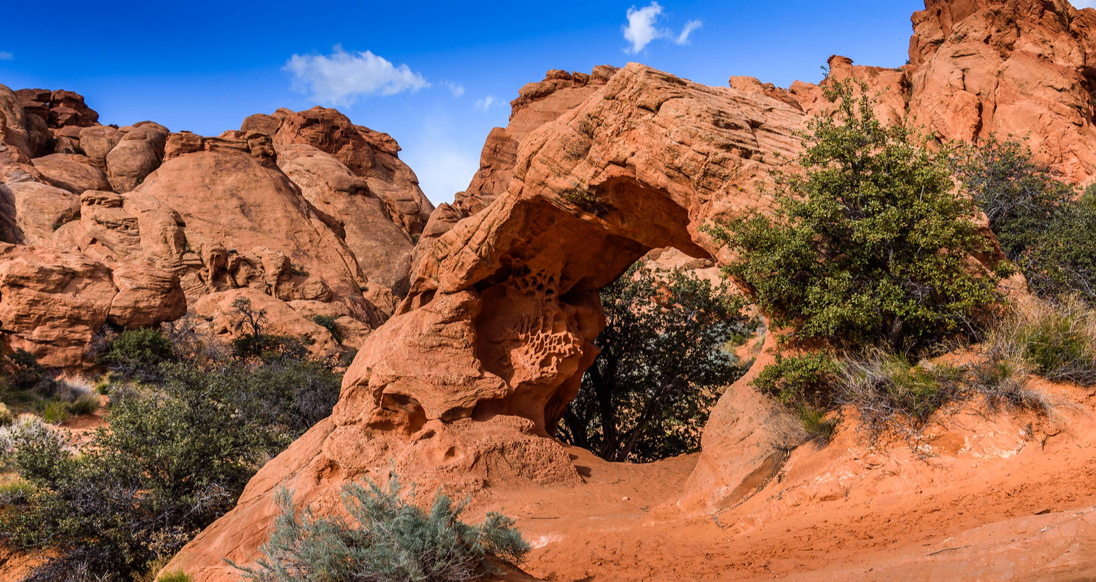
Babylon Arch Trail is located between Hurricane and Leeds Utah and near the Virgin River which is responsible for carving the main canyon of Utah’s Zion National Park.
The trail to Babylon Arch is a course through sand and over rocky terrain. The Arch is found at the mouth of small narrow slot canyon where flash floods and wind seemed to have been the forces that have carved this small arch formation. The trail that leads to Babylon Arch continues down to the Virgin River. Sandstone formations wrap around the north and west bends of the river, and in springtime the flows are full and fast.
This trail is accessed southeast of Leeds, Utah, but the Arch itself is literally just across the river from Sky Mountain Golf Course in Hurricane, Utah. This area is a part of the Red Cliffs Desert Reserve which covers large swaths of land in and around the St. George, Utah area. Click here for more details.
Toquerville Falls
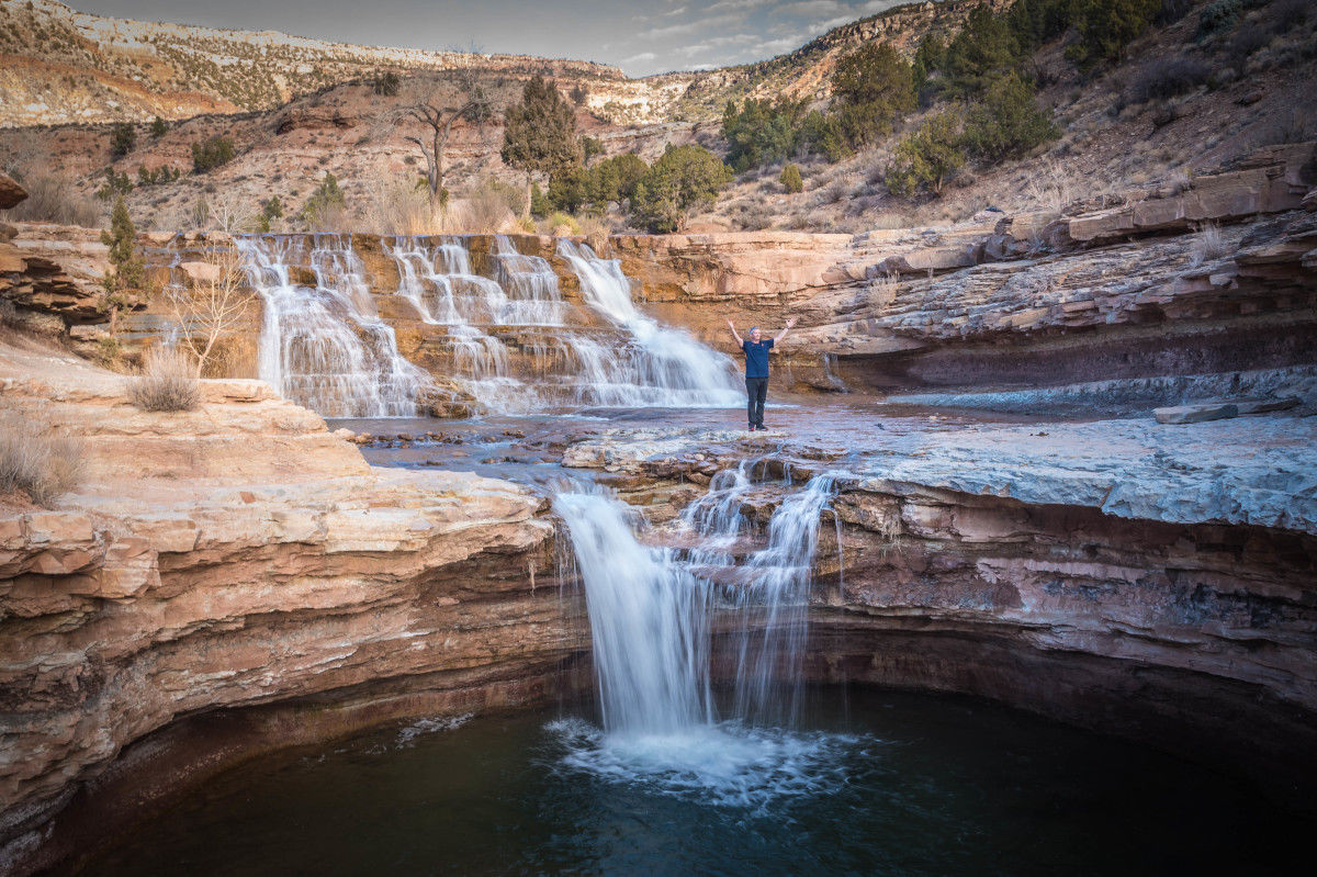
Toquerville Falls is located in the hills above the town of Toquerville, which is a small town on the route to Zion National Park if coming from the north. The waterfalls are at the end of a 12 mile out and back road that is recommended for high clearance OHV/off road vehicles. The first 2-3 miles are pretty rough with ruts and sharp jagged rocks that could cut a tire. It’s not a good idea to attempt this route in standard passenger vehicles. On a recent trip we parked our vehicle and hiked in and out.
Toquerville Falls flow in LaVerkin Creek with a beautiful cascade and drop off with pool below. Surrounded by scenic desert hills, bluffs, and mesas, the falls are in picturesque setting for a picnic. The best time of year to visit the falls for its photographic value is in the spring when LaVerkin Creek is running high. Summer can get pretty toasty, so if you’re planning on taking advantage of the swimming hole, this is your season. The drive time each direction is approximately 45 minutes. Click here for directions.




Leave a Reply
Want to join the discussion?Feel free to contribute!